Project Snapshot
The landholders first purchased the pastoral lease in 1919. As a fourth-generation station manager, the current landholders run Angus beef herds, normally selling native pasture-fed heavy steers at 4-5 years old.
The landholder’s management philosophy has been to improve livestock management infrastructure, including water points, stock management yards and fences, to enhance management flexibility and look after land condition while maintaining commercial levels of stock.
These actions have opened up undeveloped parts of the property and allowed the timing and extent of grazing to be managed more responsively to land condition and feed on offer, enabling improvement of ecological health and regeneration of woody vegetation.
However, the challenge of balancing economic returns from running a viable pastoral operation, and introducing important methods for improved livestock management, led the landholders to look for alternative income streams.
Carbon markets offered an economic diversification pathway that would allow the integration of both pastoral activities and land management practices into a dual operational model for the landholder. Carbon markets present opportunities for pastoralists, with new revenue derived from increasing carbon sequestration in the HIR specific vegetation. The proceeds of the sale of ACCUS will be used to contribute to the management costs and invest in resources needed to achieve the overall aims of the HIR management plan.
In agreement with this philosophy towards more flexible and responsive grazing management, the lessees undertook an HIR project over 25 years, for which RegenCo has developed a Property Management Plan and an Activity Plan Workbook in collaboration with the landholders.
RegenCo first undertook a pre-feasibility analysis of the station to identify areas that had the potential to regenerate, and that were not forest in the preceding 10 years to 2021. The Human Induced Regeneration project was registered conditionally on 22 March 2023 and unconditionally on 3 June 2025.
Overview
Geography
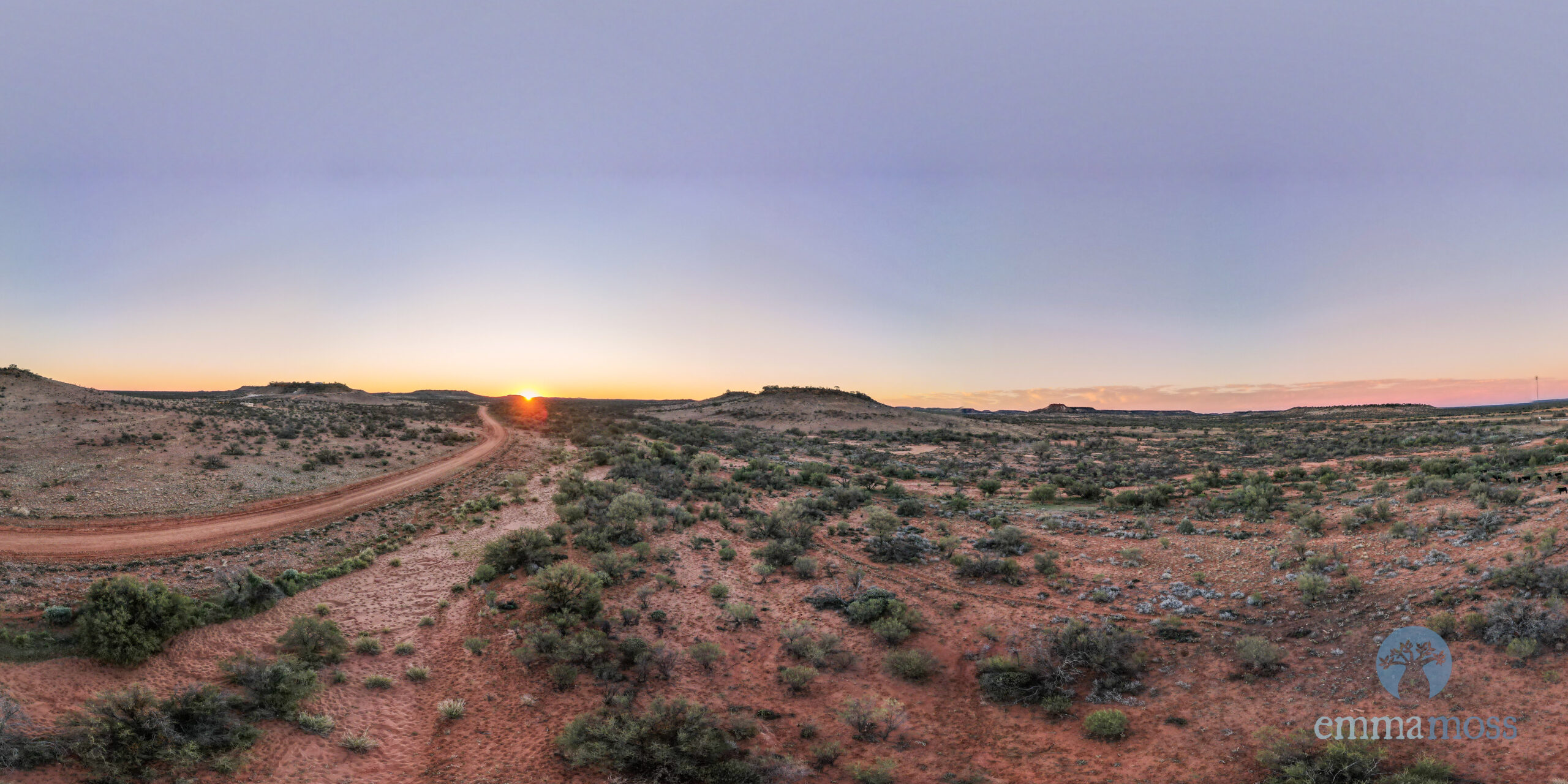
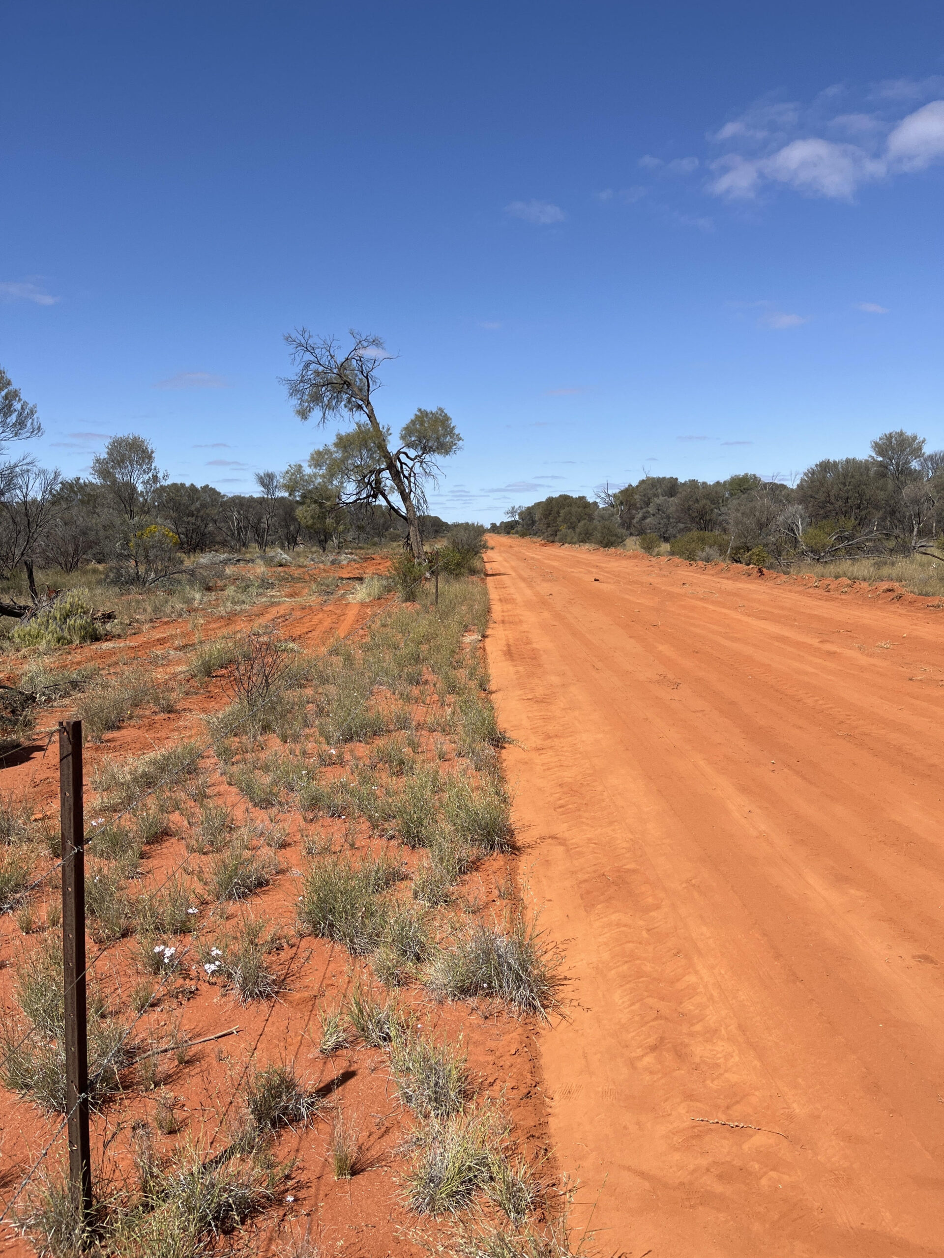
The station has a total area (under title) of 6430 km², on the border of South Australia and the Northern Territory, with the homestead located approximately 25 km south of the border. The property borders other pastoral properties on all sides. The Station is divided into seven land systems, four main land systems, two smaller land systems, and a minor land system.
Key Features
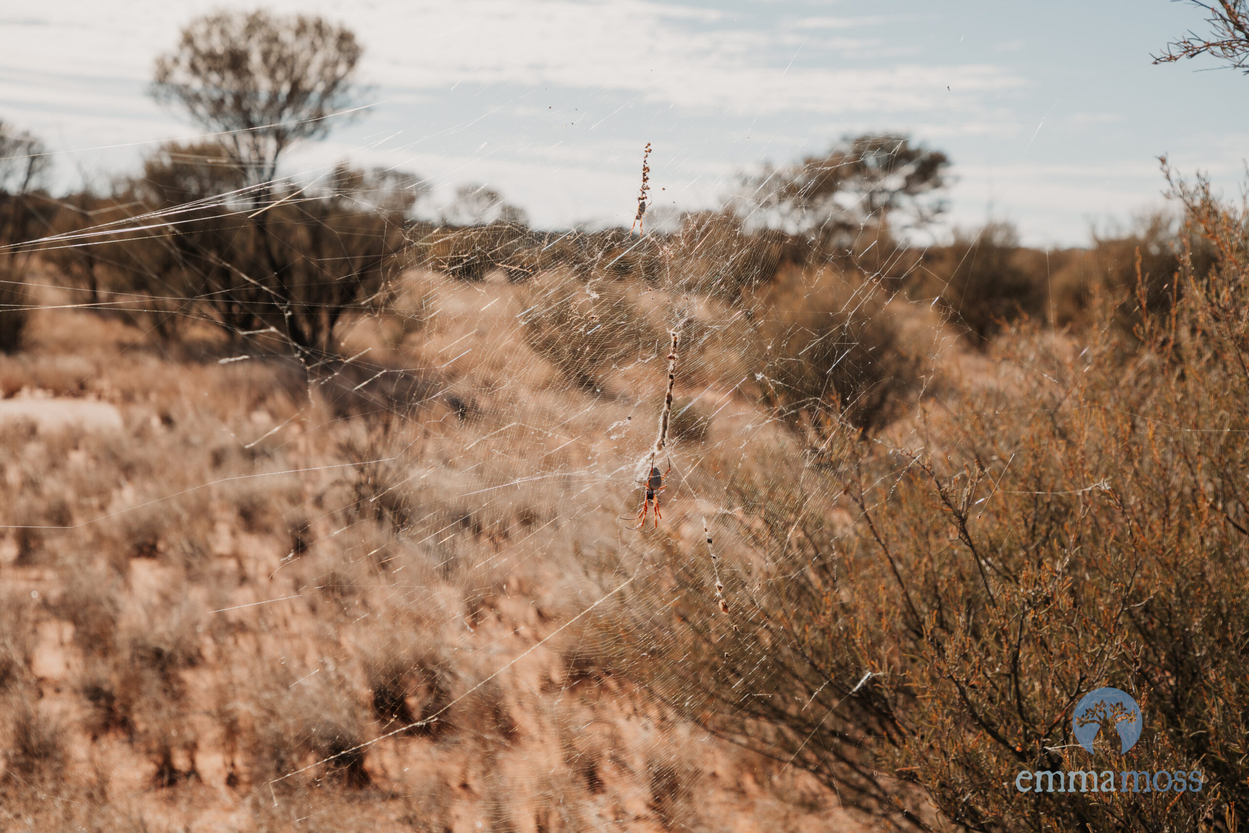
The ecosystems of the project area have evolved in the presence of grazing pressure from both native herbivores, including kangaroos, and wallabies, as well as feral herbivores like rabbits, camels and horses. It was considered highly likely that vegetation conditions would continue to decline if grazing pressure was maintained.
The management of this pressure is fundamentally important in maintaining and restoring rangeland condition.
While the landholders look to keep a good handle on feral herbivore populations, there nonetheless remains an ongoing threat to vegetation and land condition.
Given the diverse landforms that are found across the Station, there are a diverse range of habitats available for various native fauna and flora. The landholders hope to help rehabilitate habitat for listed species and other native biota as a result of the proposed HIR carbon project activities.
Currently, a key business goal is to establish more stock management infrastructure including waterpoints and stockyards to enable more management flexibility to respond to seasonal conditions, and to increase control of timing and extent of grazing to allow land to rest and recover while utilising the full capacity of the property to maintain stock numbers as possible.
Project Activity
The landholders partnered with RegenCo to implement a vegetation carbon project. Once the registration of the 25-year HIR project was achieved, RegenCo created a HIR management plan, a Permanence Plan, a Grazing Management Plan and an Activity plan, in collaboration with the landholders, after extensive visits to the property.
This plan outlined the practice changes that would initiate and maintain native forest regeneration in areas subject to historical grazing suppression. The plan allowed for protection of tree regrowth to ensure permanence obligations, whilst taking into consideration the continuation of the cattle business.
These management activities included:
- Managing the timing and the extent, of grazing
- The humane management of feral animals
- Allowing canopy vegetation species (e.g., Mulga) to re-establish in historically impacted/suppressed areas.
- Improving the condition of the native vegetation and perennial pastures
- Protecting tree regrowth to ensure permanence.
- Increasing the productivity and resilience of the cattle herd
- Management of risk of wildfire to ensure regenerating land condition and forest are not disturbed or reversed
Broad Practice Changes
To achieve the goals of the HIR project, RegenCo developed a Property Management Plan. The main features of the plan were to develop proactive management strategies to control grazing pressure and allow vegetation regeneration could deliver favourable environmental outcomes.
- The inclusion of digital imagery to consider ecological, hydrological, and geographical factors allows the landholder to determine both effective and efficient practices to complement pastoral and carbon project goals separately. For example, the efficiency of existing water points was assessed, leading to the adjustment of infrastructure such as fencelines or waterpoint placement. These changes ensure that grazing areas are maximised for cattle while also minimising grazing pressure on regenerating carbon areas.
- Measures will be taken to enhance control of feral herbivores and weeds. Improved management of feral herbivores will reduce overall grazing pressure and reduce costs of infrastructure maintenance (e.g. camel damage to fences and water points). Weeds to be controlled include those not native to the area, like buffel grass. Strategic grazing of stock will be used to manage buffel infestation areas, which helps to reduce fire risk.
- A Grazing Management Plan was created to improve the management of domestic cattle. Most HIR species are secondary browse, meaning they are not the primary forage choice for cattle, which generally prefer grasses and other palatable plants in the landscape.
- A Permanence Plan was created to assess the risk of removal and destruction of regenerating carbon species. Measures taken to manage wildfire, include the widening of firebreaks and associated asset protection burns and increased diligence in fighting all wildfires as they occur (safety permitting). By reducing widespread bushfire, plant growth, and therefore cattle feed, will be protected, ensuring sufficient feed so to not turn to eating HIR species. This, in turn, further promotes HIR species regeneration and the permanence of regenerating forest will be maintained.
- An Activity Plan brings all the above strategic tools into a 6-12 monthly summary of the activities the landholder will undertake to meet the goals of the combined cattle and carbon business
Technology & methodology
RegenCo’s Data-Driven Approach
RegenCo uses a combined airborne-LiDAR and satellite spectral mapping approach. We are the first HIR project in Australia to do so for the whole property.
LiDAR data captures precision tree and sapling height and width information – which is essential for understanding where mature and regenerating trees are – while spectral data helps identify tree species.
Finally, detailed ground surveys are conducted.
These data and our mapping methods allow us to identify regeneration with precision and allow our landholder to balance environmental and economic outcomes with sensible management.
- Field surveys were conducted in September 2024
- Drone LiDAR was also collected in November 2024
- Aerial LiDAR was collected in November 2024
The HIR project sets important new precedents. RegenCo’s partnership with Agronomeye – a digital twinning platform – and the comprehensive adoption of airborne LiDAR technology across the whole station, sets a new benchmark for integrity and transparency by rigorously baselining and measuring carbon sequestered by this project.
- Baseline dates: 19/10/2012 – 22/03/2023
- Number of CEAs: 2,043
- Stratified CEA area: 181,921 ha
- Areas excluded:
- Baseline Forest
- Project commencement Forest
- Not Carbon Estimation area (NCE: areas not currently generating).
- Fire impacted areas
- Other non-project areas include:
- Fence lines
- Roads and tracks
- Buildings
- Waterpoints and surrounding yards
- Firebreaks
Identifying Eligible Project Areas
Stratification is a process that classifies the area of a carbon farming project into different categories based on ground (field survey) and remotely sensed (drone, airborne, and satellite) data. For HIR projects, these categories are existing forest cover (which cannot earn carbon credits), areas of regeneration (called “carbon estimation areas” or “CEAs”), and areas unlikely to be able to support sufficient trees to become forest. Stratifications are updated over time.
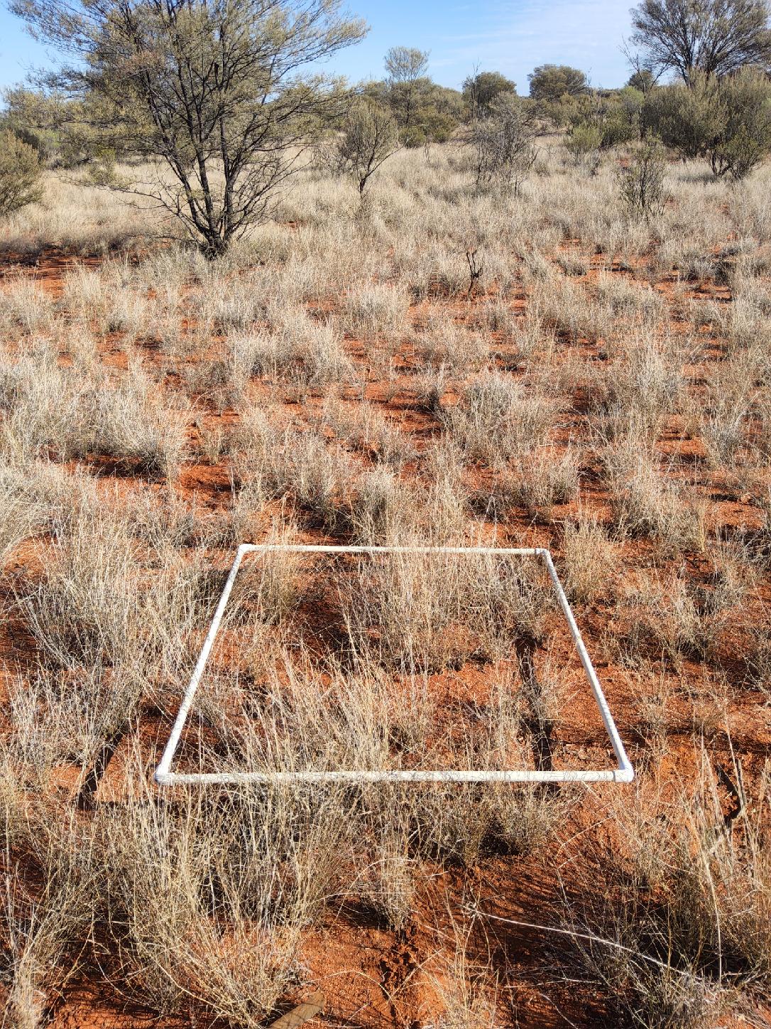
- Field survey was planned with a stratified random approach ensuring a robust sampling of spectral, spatial and vegetation characteristics across the property, within reasonable distances (between approximately 100 and 500 m) from accessible tracks and roads.
- A total of 260 random field plots were surveyed on-ground by expert ecologists with region specific knowledge, as well as by drones, in 30m x 30m quadrats oriented with magnetic north between September and November 2024. The drone survey used LiDAR and RGB sensors to capture LiDAR point cloud and RGB orthomosaics, as well as crown cover and height.
- The field survey and drone LiDAR data was used to understand which field sites contained regenerating tree species, and which could achieve forest cover during the project. This is based on height and number of saplings, and current and projected tree crown cover.
- Field plots were classified as being representative of Forest, CEAs, or NCE (Not Carbon Estimation areas) by incorporating all the data collected from the field including all species and stem measurements, crown cover, observations, photographs and any comments.
- The plots were then split into calibration and validation sets based on a random 70:30 split (n = 182:78).
- Aerial LiDAR data was collected – covering the full extent of the property’s boundary – in November 2024. A wide range of data products were created from the aerial data and then integrated into the image composite used in supervised classification and ultimately used to inform the training data for the stratification.
- The final classes within the initial stratification included: CEA, Forest and NCE.
- RegenCo’s initial stratification process involved the composite of two Sentinel-2 images (captured in October 2023) along with several aerial LiDAR derived data products (including tree canopy cover) to generate an initial stratification.
- Image classification was conducted using proven algorithms in remote sensing land cover and vegetation analysis and both unsupervised and supervised classifications were performed at various stages of the classification process.
- As per the requirements of the regulations, any CEA areas less than 0.2 ha were eliminated.
- Baseline forests were mapped by remote sensing analyses of Sentinel-2 and Landsat 5 and Landsat 8 imagery across the baseline period.
- Map accuracy assessment for NCE, CEA and Forest classes (based on the withheld validation field sites) demonstrated an overall accuracy of 93.6 %.
- All areas that were not CEAs and were identified as project commencement forest, baseline forest and NCEs were defined as exclusion areas and removed from the project strata.
- There are a total of 2,043 CEAs covering an approximate area of 181,921 ha.
Managing Risks
Management of Fire & Mitigation Activities
- Wildfires are a major risk to existing and regenerating vegetation for carbon sequestration. The release of sequestered carbon by unmanaged wildfires during a project’s lifespan can have serious commercial impacts on carbon farming by reducing the amount of eligible ACCUs.
- The objective of fire mitigation is to reduce the severity and risk of harmful wildfires to CEA areas and valued pastures.
- Wildfires must be accounted for in carbon accounting models (FullCAM) when claiming for ACCUs.
- Wildfire and the use of prescribed fire need to be managed as part of property management activities.
- Measures were taken to manage wildfires on the property, including the widening of fire breaks and asset protection burns, as well as increased diligence in fighting wildfires as they occur.
- By reducing widespread bushfires on the property, plant growth (and therefore cattle feed) was protected, negating the need for cattle to eat HIR species (ie, the eligible vegetation). This, in turn promoted HIR species regeneration, maintaining the permanence of regenerating forest.
RegenCo creates a permanence plan for each of our projects. Every 6-12 months, we meet with the landholder to discuss specific risk mitigation activities for the landholder to implement – for example water points, taking into account seasonal conditions, the amount of grass, fires on neighbouring properties, and the amount of firebreaks on the property.
Assessing Fire Risks
The fire risk in the rangelands of Central Australia varies through time. The seasonal risk for fires is monitored through resources such as:
- Historical fire information (Fire mapping)
- The Australasians Fire Authorities Council (AFAC) seasonal fire outlook as well as BoM’s recent climatic conditions and long range seasonal outlook
- Australian Flammability Monitoring System by Bushfires and Natural Hazards CRC
- Using remote sensing applications to assess fractional cover, ground cover %, total standing dry matter, and grass curing index’s where visual inspection is difficult and unreliable
- On-ground monitoring from land managers
There are a range of generic as well as property-specific risks that need to be actively managed:
- Accidental and deliberate human and mechanical ignitions from public access roads
- Fire travelling in from neighbouring stations and properties
- Spinifex or high fuel loads that interface with Carbon Estimate Areas
- Lightning strike ignition, especially in Spinifex country
- Minimal or insufficient fire breaks or fire access tracks throughout the property
- Accidental ignitions from farm machinery and infrastructure on the property
- Prescribed fire getting out of control
- Lack of station/staff capabilities to fulfil required activities
Quadrats have been used multiple times through the property to assess ground cover, grass curing level, flammable biomass, and overall likelihood to burn to give a ‘score’ and a subsequent risk level.
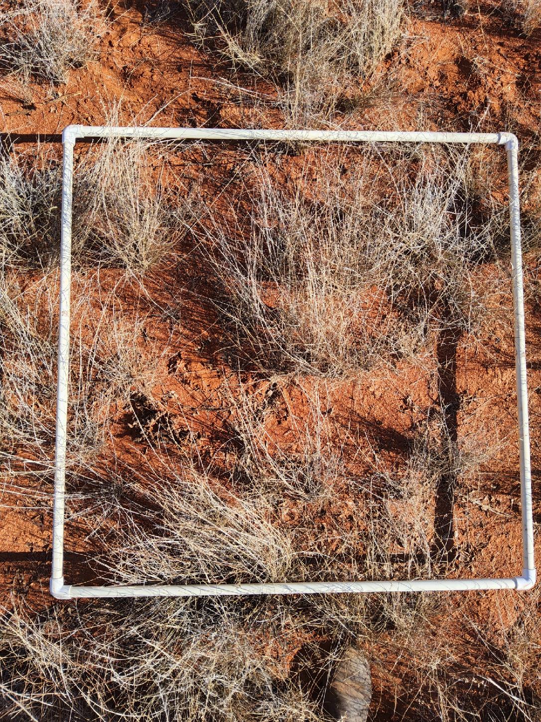
Matching the ground results to remote sensing helps give a better understanding to what is being represented in remote sensing which enables a whole property view.
Reducing risk of wildfire
The property has been relatively free of fire impacts over the last 40 years. However, good rainfall in recent years has enhanced plant germination and regeneration, and presents a fire risk.
To develop a more coordinated approach, the landholders discussed fire management with neighbours and Native Title holders.
The landholders improved their fire management by installing a new 46 km fire break through 2023. This was strategically done in an area of the property with large areas of regeneration occurring (CEAs) where access was difficult and fire fuel loads can be problematic.
The new fire break serves to limit the spread of fire if one ignites and to gain easier access to conduct fire fighting if necessary. Utilising an existing fence line, machinery was used to clear heavy timber and fine fuels.
A bare earth fire break is now in place and the cleared heavy timbers will mean easier maintenance in the future.
Stakeholders
| Pastoral Lease holder | South Australian Pastoralists |
| Mortgagee | The project required Bank consent and it was obtained in September 2024.
|
| Crown | The project required Crown consent and it was obtained in July 2024. |
| Native Title | The project required Native Title consent and it was obtained in October 2024 from:
|
Native Title
Background
In Australia, any carbon project under the Australian Carbon Credit Unit (ACCU) Scheme that is to be unconditionally registered on land where the Federal Court has determined there are native title rights and interests, requires Native Title Consent.
This is a process of consultation with the relevant registered native title bodies corporate (RNTBCs) that manage the native title rights and interests on behalf of Traditional Owners. This process ensures decision making related to native title and corporate operations are made correctly and by the right people – the common law holders.
RNTBCs must consult with and get consent from common law holders, also known as Traditional Owners (TOs).
Relationship between Native Title Services and RNTBCs
Native Title Service Providers like South Australian Native Title Services Ltd (SANTS) are a not-for-profit company assisting Aboriginal people in South Australia to gain recognition and to protect their native title rights and interests. They provide a range of services to Aboriginal Nations to achieve their social, cultural and economic aspirations.
How RegenCo approached the consent process with the RNTBCs
Identify Eligible Interest Holders:
- RegenCo identified the existence of native title determinations using the National Native Title Tribunal (NNTT) website and then the relevant RNTBCs on the Office of Registrar Indigenous Corporations website.
- RegenCo sought to identify other eligible interest holders such as Bank/Mortgagee, Crown land vs freehold, lease vs land owner through Title Search.
Accessed the Indigenous Carbon Industry Network (ICIN) Carbon Projects Guide, in particular Free Prior, and Informed Consent (FPIC)
- It provides Indigenous organisations with comprehensive information about how carbon projects can affect indigenous rights and interests.
- From RegenCo’s perspective, the best practice principles developed by the United Nations Convention on the Rights of Indigenous People, known as ‘Free, Prior and Informed Consent’ (FPIC) which is outlined in Section 7 of ICIN Carbon Projects Guide, was the foundation for all discussions.
Agree appropriate Timeframes and Engagement Process:
Once a decision is made to proceed, parties will:
- Agree on appropriate timeframes for consultations and negotiations.
- Develop a clear process for engaging with SANTS & RNTBCs including consultation and consent-seeking methods.
- Agree on costs of engagement and how costs will be covered.
- Have checkpoints at the end of each consultation to ask if the RNTBCs were supportive to continue or not.
Provide Information:
- Preparing a project specific information booklet with photos and diagrams being respectful of any language differences.
- An in-person meeting or an agenda item at the next RNTBC meeting which included RegenCo representatives, Pastoralist family members, RNTBC members and SANTS in June 2023.
- Offering to pay for a translator to be at any or all meetings.
Property Tour
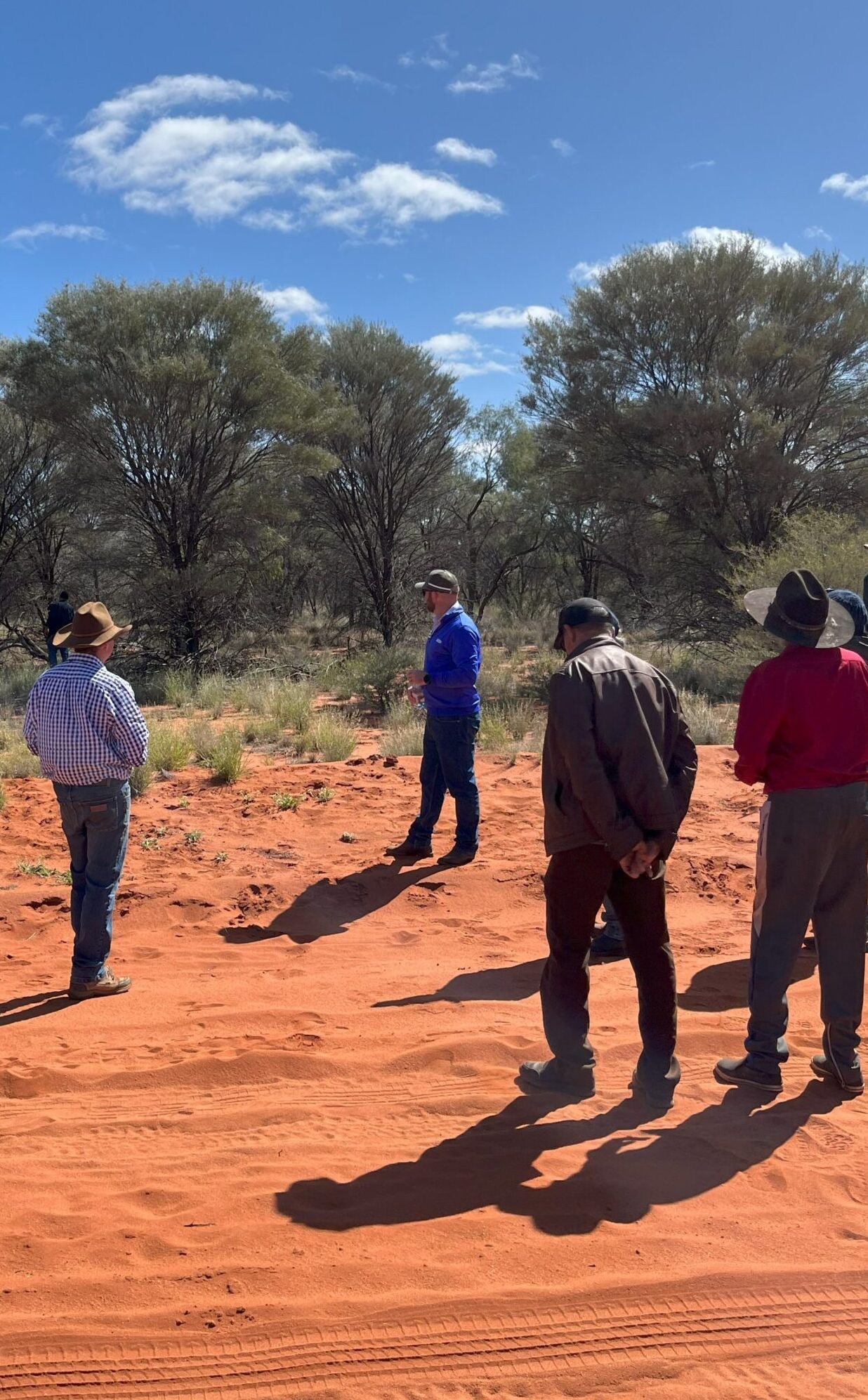
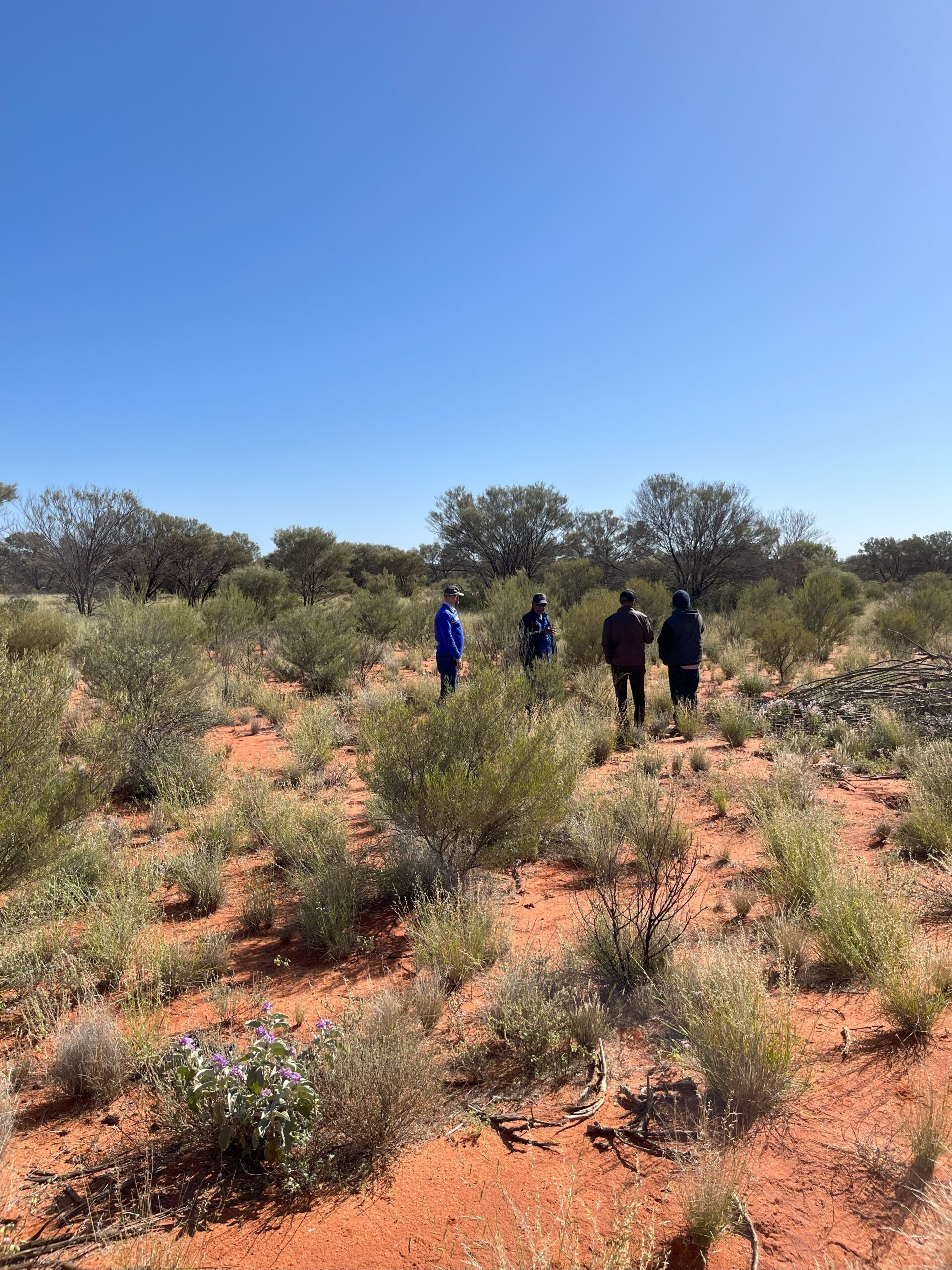
- A property tour was hosted by RegenCo in August 2023, to demonstrate how the project would work and allow RNTBC members – some of whom had not visited the country before – to also visit culturally significant sites and hear Elders speak.
- The purpose of the property tour was to show/demonstrate areas with carbon potential or no carbon potential, as well as existing forest – and how they differed.
Negotiate Agreements
- RegenCo commenced negotiations with SANTS around a draft Terms of Agreement document.
- These agreements addressed a range of issues, including project activities, financial and non-financial compensation, and cultural heritage measures.
- For this project, initial terms were set out in September 2023, and were followed by a process of negotiation that continued for approximately 12 months
- Eligible Interest Holder Consents (EIHC) were signed in October 2024, and the Indigenous Land Use Agreement (ILUA) was signed by all parties between December 2024 and January 2025. These were then submitted to the National Native Title Tribunal for registration.
Ongoing Relationship Post-Agreement
- RegenCo has committed to annual meetings to share project-related documentation, especially to seek prior approval on infrastructure disturbances on the property.
- RegenCo also provides transparency regarding the marketing of ACCUs
- A five-year review of the agreement is planned, alongside annual catch-ups, with any amendments requiring mutual agreement
| Timeline of Engagement | |
|---|---|
| Initial Outreach | October 2022 |
| RegenCo met with SANTS | March 2023 |
| Meeting with both RNTBC members at Kulgera NT | June 2023 |
| Property tour with SANTS, RNTBC members & TOs, Pastoralist and RegenCo | August 2023
|
| Attend RNTBC meetings to talk to proposed approach with TOs at Kulgera | September 2023
|
| Negotiation of draft terms of the Indigenous Land Use Agreement (ILUA) | September 2023 – October 2024
|
| Signing of Eligible Interest Holder Consents (EIHC) | October 2024
|
| Signing of ILUA | December 2024/January 2025
|
| Registration of ILUA | May 2025
|
Metrics
All ACCU Scheme Project Proponents must report on their projects at regular intervals. Reports need to be accompanied by an audit report, verifying that the abatement achieved and reported on is accurate. As the project proponent for the SA Cattle Conservation HIR Project #01112022 TP, RegenCo must provide information to the auditor to ensure compliance with the relevant assurance standards and legislation.
| Key Project Details | |
|---|---|
| ERF project ref no. | ERF180122
|
| Registration date | 22 March 2023 |
| First Issuance | 29 October 2025 |
| Project area | 465,911 hectares |
| Eligible area | 181,921 hectares |
| Baseline period | 19 October 2012 to 22 March 2023 |
| Modelling commencement date | 1 June 2016 |
| Permanence period | 25 years |
| Next regen check | 2028 |
The reporting period in the first Offsets Report is from 22 March 2023 to 28 February 2025. Based on the initial calculations performed by the Project Proponent in accordance with the Methodology Determination, the Project has reported a net abatement of 183,683 t CO2-e for the reporting period.
| Total number of CEAs | 2,043 |
| Modelling approach | Full Carbon Abatement Model Software (FullCAM) is a government calculation tool for modelling abatement in land-based carbon projects, such as HIR. It uses a wide range of spatially referenced data and users can determine estimates of carbon stock changes and greenhouse gas emissions at fine spatial and temporal scales for ACCU projects. |
| Dates | |
|---|---|
| Model start date | 1 June 2016 |
| End date for the first crediting period | 28 February 2025 |
| Project declaration date | 22 March 2023 |
| Permanence period start date | 29 October 2025 |
| Forest cover assessment date | Earliest date:10 CEAs in 2031. |
| Audit | |
|---|---|
| Auditor | RSM Australia |
| Audit date | May – June 2025 |
Monitoring & Management
Ongoing monitoring and management post-issuance
In partnership with the landholders, RegenCo develops a Grazing management plan which focuses on the development of the station’s HIR carbon project in conjunction with their cattle business. However, the management of a station is dynamic. Work on the station continues, even after the project starts issuing credits.
There are many activities carried out in the period between field surveys and the 5-year regeneration checks which are required by the CER. To ensure the project keeps regenerating, storing and sequestering carbon, an annual work program (Activity Plan) captures the Management & Permanence activities undertaken on the property, factoring in seasonal conditions, vegetation response to the management interventions and the stage of development of the business. This Activity Plan is revised 6 to 12 monthly, recording the eligible project activities that have contributed to HIR species regeneration. In addition, RegenCo makes at least one site visit each year.
RegenCo utilises ongoing monitoring and management so that the cattle business and tree regeneration can occur harmoniously. For example, by assessing the seasonal conditions, an estimate of feed available to cattle and the number of cattle at each water point, some water points may be rested or numbers reduced to ensure regeneration continues.
We use remote sensing tools like the Northern Australian fire indicator (NAFI) and Fire Watch, where we are able to monitor current fires and historical fire scars in real-time.
These activities form part of the ongoing monitoring and management of a project once it has been conditionally registered as a project with the Clean Energy Regulator.
How RegenCo market credits
To close the loop on the project, RegenCo manages the process of turning the project’s carbon credits into revenue from carbon credit sales.
RegenCo engages with landholders to develop a strategy for ongoing carbon credit sales with consideration of price risk management.
A carbon offtake agreement is a contractual arrangement between a project proponent and a buyer. It details a specified volume of carbon credits the buyer agrees to purchase over a set period of time, and the commercial terms of the transaction. RegenCo manages the sale of ACCUs on behalf of the project.
Buyers can secure a consistent supply of high-quality credits from a project of choice, and manage their exposure to price risk. Project developers like RegenCo can also secure revenue, which helps in financing, managing and scaling our projects.
As a Corporate Authorised Representative of an AFSL, we work with landholders on a prudent risk management strategy to ensure the viability of the project over its 25 year life.
RegenCo has relationships with a variety of off-takers in compliance and voluntary markets. We go through a rigorous vetting process to ensure that buyers of these credits are bona-fide, and are also taking steps to decarbonise their own businesses and operations.
The market is largely voluntary, with businesses making commitments based on ESG and ‘net zero’ targets that deliver benefits to the planet and their brand, though some of Australia’s larger emitters are required to offset emissions through the scheme’s Safeguard Mechanism.
The link below will take you to the CORE Markets website.
Explore your Carbon
Opportunity with RegenCo
Oops! We could not locate your form.